Tanzania home to world’s largest volcanic debris deposits
ARUSHA: TANZANIA is now officially home to the world’s largest volcanic debris avalanche deposits recorded at the foot of the country’s second-highest peak, Mount Meru.
The Conservation Officer in charge of Tourism at Arusha National Park (TANAPA), Mr Jerome Boniface Ndazi, said the Debris Avalanche Deposits (DEADE), which have formed hills around Mount Meru, are believed to have developed nearly 9,000 years ago.
According to Mr Ndazi, scientists who studied the geological features around the mountain established that the volcanic debris was deposited following a massive eruption of the Meru volcano centuries ago.
He noted that other notable features resulting from the volcanic activity include the Ngurdoto Crater, the seven Momella Lakes and the Tululusia Waterfall, all located within Arusha National Park.
The Tanzania National Parks (TANAPA) conservation officer further explained that the towering debris avalanche deposits have the potential to become a major tourist attraction, particularly for geologists, especially as the area is being mapped for designation as a UNESCO Global Geopark.
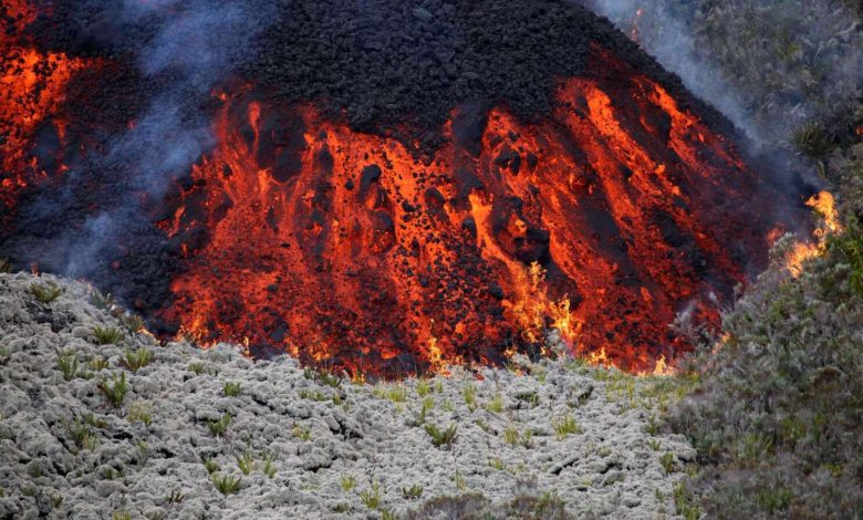
Currently dormant, Mount Meru is the secondhighest peak in Tanzania after Mount Kilimanjaro and ranks fifth in Africa.
The Meru volcano is situated within the Northern Tanzanian Divergence Zone, where the eastern branch of the East African Rift splits into several branches.
Rising to 4,565 metres, Mount Meru features an eastern flank breached by a horseshoe-shaped scar, formed following a major collapse associated with the Momella debris avalanche, which dates back approximately 9,000 years ago.
ALSO READ: Mount Ol Doinyo Lengai: A unique volcanic phenomenon
Remote sensing combined with detailed field mapping allowed for the characterisation of the Momella debris avalanche deposit, structure and texture.
Hummocks, ridges, lineaments, lobes, grabens and shear zones are observed on the surface of the deposit.
The most common facies observed are the mixed facies with indurated and shattered outcrops and the matrix facies.
The collapse involved a volume of more than 20 square kilometres with a deposit that spread over an area of 1250 kilometres square, up to the base of Mount Kilimanjaro.
Based on field evidence, scientists suggest that water played a key role in the deformation, facies formation, avalanche emplacement and mobility of the entire deposit but to a lesser extent south of Ngurdoto complex