‘Kijani Space’ project launched to boost climate-smart farming, fishing in Lake Victoria
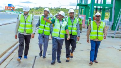
MWANZA: THE ‘Kijani Space’ project, a new three-year initiative funded by the European Union, has launched in Mwanza Region to boost climate-smart farming and fishing, so as to improve livelihoods for communities around Lake Victoria.
The project will provide accurate digital information, delivered via a satellite system, to promote climate-smart agriculture and fishing practices along the Lake.
This information aims to help communities better understand and adapt to the existing impacts of climate change.
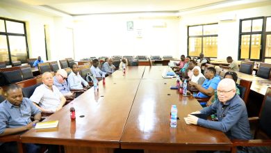
Speaking at a recent stakeholders’ meeting, Mr Bakari Songwe, Manager of the Small Industries Development Organisation (SIDO) for Mwanza Region, explained that this vital information will be collected at an ICT centre currently under construction at SIDO premises.
This centre will empower farmers and fishers to better combat and adapt to the existing impacts of climate change. Songwe clarified that while the ICT centre itself is not funded by the ‘Kijani Space’ project, its development was a key factor in attracting the EU’s sponsorship to Tanzania, as it ensures the availability of crucial digitised information for the target audience.
He added that some satellite devices will be installed around the Lake, including underground, to collect diverse climate-related data for analysis and dissemination from the centre.
ALSO READ: Govt allocates funds for drones to monitor Lake Tanganyika fishing activities
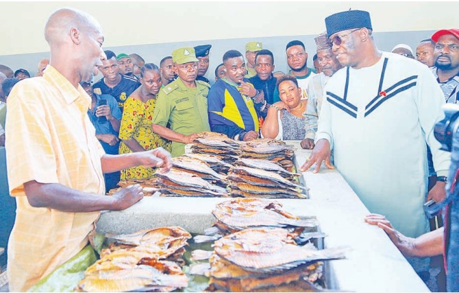
The Director of Kenyabased Africa Biodiversity Programme Limited, Dr Kelvin Kinusu, emphasised that the satellite will provide vital data, including insights into the causes of mass fish deaths in the Lake, enabling experts to find viable solutions.
This information will also guide farmers and fishers on optimal times for their activities, which he believes will significantly increase production, potentially reducing the region’s reliance on imported farm and fish products.
Representative of the Ugandan Technovation Lead, Agape Technologies, Mr Ronald Ssembwaje, echoed the sentiment of a projected boost in the fishing sector.
He explained that satellite data will offer crucial water parameters, such as water quality and dissolved oxygen levels, helping fishers assess the risks of fish deaths and protect vital breeding zones.
For farmers, the information will guide decisions on suitable irrigation water, optimal fertiliser application and the best crop types for specific areas.
“Project beneficiaries will receive precise advice on how to optimise their production efforts to ensure both quality and quantity yields,” Ssembwaje added.