GST launches advanced geological exploration programme using specialised drones
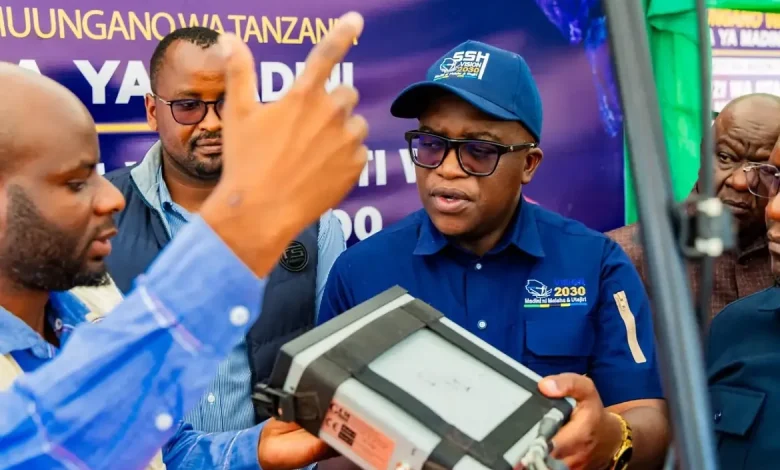
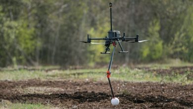
MIRERANI: THE Geological Survey of Tanzania (GST) has officially launched an advanced geological exploration programme using modern technologies, including specialised drones, low-flying survey aircraft and other sophisticated equipment, to identify areas with mineral potential across the country.
The Minister for Minerals, Anthony Mavunde, announced this during the launch of a survey aimed at establishing the extension of the Tanzanite-bearing geological belt in the Mirerani Controlled Area today, November 9, 2026.
Speaking at the event, Mr Mavunde said only 16 per cent of Tanzania’s land area had so far undergone detailed geological surveys, while the remaining 84 per cent, equivalent to approximately 233 million acres, was yet to be comprehensively surveyed.
He said that as part of efforts to expand the scope of geological investigations, the government plans to conduct surveys covering 160,772 square kilometres, equivalent to 18 per cent of the country’s total land area, in collaboration with experts from Spain.
Other areas earmarked for exploration include Kigoma, Rukwa, Katavi, Mbeya, Songwe, Lindi and Mtwara. Additional surveys will cover areas stretching from Dodoma and Singida through Tabora to Shinyanga.
Mr Mavunde also emphasised that the government had started setting aside 10 per cent of revenue collected from the mining sector to finance detailed geological surveys.
The initiative aims to enable small-scale miners to access reliable information about mineral deposits and reduce speculative mining, which often results in wasted time and financial resources.
For his part, GST Chief Executive Officer, Engineer Ally Samaje, said the main objective of the survey was to increase mineral production.