
Nyang’hwale District unveils major land survey plan
NYANG’HWALE: THE Nyang’hwale District Council in Geita Region has unveiled a strategic plan to survey land and allocate plots in designated areas as part of its efforts to stimulate economic and social development.
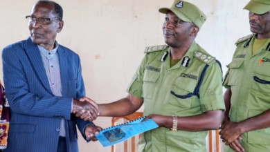
The Chairperson of the Nyang’hwale District Council, Mr John Isack reached the decision following directives from the Chama Cha Mapinduzi (CCM) National Chairperson, who instructed proper measures to be taken by surveying strategic areas.
Mr Isack said Nyang’hwale is a rapidly growing district, and sustainable land planning is crucial to curb illegal settlements and prevent encroachment on public and institutional land.
He noted that the initiative also aims at attracting both local and foreign investors by opening up newly surveyed areas that will provide a favourable environment for infrastructure development.
“We have already scheduled the surveying of strategic zones. These include areas earmarked for industries, commercial centres such as markets, shops and business stalls,” he said.
Mr Isack further assured residents that Nyang’hwale has ample land, emphasising that all individuals will be supported according to their needs and no one will be disadvantaged in the process.
The Member of Parliament for Nyang’hwale Constituency, Mr Hussein Amri, noted that timely land surveying will ease the implementation of government projects and ensure smooth delivery of social services across the district.
Mr Amri urged the council to create a citizen-friendly system for land surveying, including public education on costs and other key requirements, to ensure the successful execution of the plan and help build a model district council.
Earlier, the CCM District Chairperson for Nyang’hwale, Mr Adamu Mtole, stressed the need for inclusive land surveying that accommodates all social groups, enabling residents to build and invest according to their economic capacity.
“We want Nyang’hwale District Council to become a model. We are surrounded by mines, and many small-scale miners with significant capital earn their income here but invest elsewhere.
Create a supportive environment, work together and improve this town. Survey plots according to social classes and designate areas for high-, middle-, and low-income earners,” Mr Mtole said.
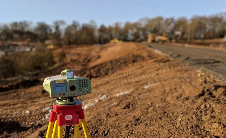
A report from the District Council’s Department of Urban Planning shows that only 51 square kilometres, equivalent to 3.5 per cent of Nyang’hwale’s total area of 1,450 square kilometres have been surveyed so far.


Toa Taarifa ya Uhalifu kupitia namba 111, 112, 0699998899, 0787668306 au kwa ujumbe kupitia kiunganishi https://taarifa.tpf.go.tz.