Govt moves to modernise land surveying
MOROGORO: THE Ministry of Lands, Housing and Human Settlements Development is in the final stages of revising the country’s land surveying and mapping laws, with plans to introduce a single, consolidated legal framework that will integrate all requirements and responsibilities previously covered under two separate statutes.
According to the ministry, the new unified law will enable the surveying profession to keep pace with rapid changes in surveying methods and modern mapping technologies.
Deputy Permanent Secretary in the Ministry Ms Lucy Kabyemera said while opening the 29th Annual General Meeting of the Institution of Surveyors Tanzania (IST) held recently in Morogoro.
Ms Kabyemera noted that the profession is currently governed by two outdated laws, the Land Survey Act, Cap 324 and the Registration of Land Surveyors Act, Cap 270, both of which have been overtaken by advances in technology.
She explained that the government recognises these laws as a hindrance to the profession’s growth, which is why a draft amendment has already been prepared and submitted to stakeholders to seek their views.
“All stakeholder feedback has been incorporated and the documents are now at an advanced stage in line with government procedures,” Ms Kabyemera said.
She urged surveyors to remain patient as the ministry accelerates the process.
ALSO READ: Surveying entire country’s land commendable
“The ministry will fasttrack the completion of this law so that it is ready as soon as possible, allowing you to perform your duties more effectively,” she added.
IST President Dr Ijumulana Julian said this year’s AGM discussions focus on the contribution of land surveyors to Tanzania’s Development Vision 2050.
He added that the FiveYear National Development Plan (2021/22–2025/26), aimed at building a competitive, people-centred industrial economy and the United Nations Sustainable Development Goals (SDGs) under the 2030 Agenda, also guide the sector’s priorities.
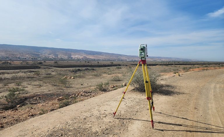
Dr Julian highlighted other key topics, including the integrated industrial development strategy and the increasing use of modern technologies such as Satellite Positioning Systems (GPS) and drones.
He further pointed to the growing adoption of mobile Geographic Information Systems (GIS), which allow users to view precise map locations via smartphone and the e-Ardhi digital land management system, which enhances land ownership administration, simplifies transactions and improves transparency.
This year’s theme, he said, is: “A Land Surveyor is the Bridge that Connects National Development Agendas.”
On his part, land surveyor Mr Sebastian Bebwa called on the government to abolish taxes on modern surveying equipment to make them more affordable and reduce service costs for citizens.
“These modern tools bring great efficiency because they shorten the surveying process significantly, unlike in the past when surveys took a long time,” Mr Bebwa said.