Air quality warning issued for Los Angeles
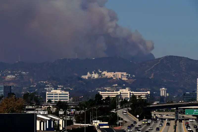
LOS ANGELES: A separate warning has been issued over air quality in Los Angeles, which officials say will be exacerbated by strong winds.
Air pollution agency South Coast AQMD has said blowing dust may result in air quality “unhealthy for sensitive groups” in most of LA.
Gusts are forecast to reach up to 70mph (112 km/h) on Tuesday, with high winds also dispersing ash from burnt-out areas.
“Windblown ash from burned structures may contain higher air toxic levels. If you see windblown ash, take precautions to reduce exposure,” the agency warns.
The National Weather Service is asking people to stay indoors and keep windows closed, and to wear a mask if they go outside.
How bad is the damage from the fires? published at 16:11 16:11 It’s sometimes difficult to relay the scale of damage that fires like the ones raging across southern California can have on neighbourhoods.
But we can now bring you some snapshots from live maps, which show areas that have been wrecked by the Eaton and Palisades fires.
For the Eaton fire, LA County Recovers shows in their live map that more than 2,300 structures have been affected, with 879 structures destroyed.
LA County has also assessed 664 structures that may have been impacted by the Palisades fire. For 485 of those structures, they were destroyed.
- Below gives you a closer look at how these fires have impacted some areas, but here’s a quick guide to the markers: Red shows “destroyed” properties – where over 50% has been damaged
- Orange shows structures majorly damaged (26-50%)
- Yellow indicates minor damage (10-25%)
- And green for those affected by fires (1-9%)
- The properties with a black marker represent structures that are totally unaffected
As you can see, even amongst some of the neighbourhoods where there was massive destruction, there are some structures that remain wholly unaffected.
As we’ve been reporting, winds are key in the battle against the wildfires raging across Los Angeles and its surrounding areas.
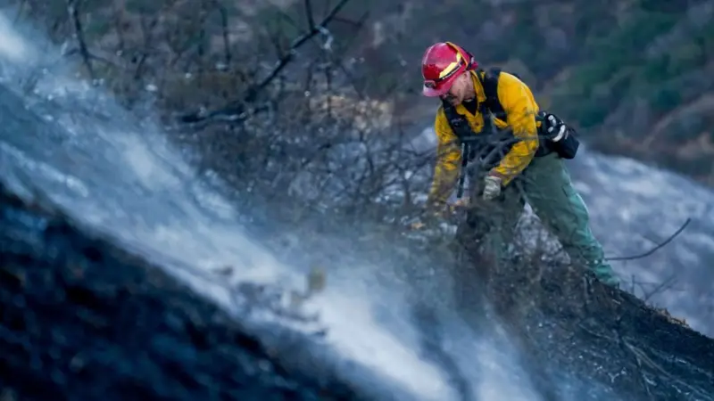
In a news conference last night, National Weather Service meteorologist Rich Thompson said a red flag warning will remain in place until 18:00 local time (02:00 GMT) on Wednesday. This means conditions are ideal for wildfire combustion, and rapid spread.
The Santa Ana winds are back – a normal phenomenon but when they’re strong, they can turn dangerous – as they did last week.
“The vegetation is still very, very dry, so that leaves a recipe to produce some very critical fire weather conditions,” says
Thompson. The most recent forecast says gusts will peak at 70mph (112km/h) on Tuesday, which is lower than the winds that fuelled the fires initially and grounded firefighting aircraft so no flames could be doused from above.