Govt to draw new country map

PLANS are underway to draw the new country’s topographic map through a project known as Improvement of National Land Data Infrastructure.
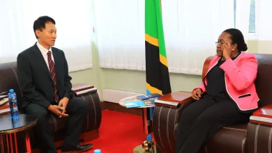
Speaking in Dodoma on Monday while responding to the question posed by Special Seats MP Angelina Malembeka, Deputy Minister for Lands, Housing and Human Settlements Development, Ridhiwani Kikwete said the project will be carried out under the funding of South Korean government.
He said the project will be implemented between 2022/23 and 2025/26 financial years.
According to the deputy minister, the new map will capture all the major country’s natural features on ground, such as water bodies and man-made features such as roads, railways, dams and towns.
The deputy minister said one of the reasons that made the government to update the country’s map is to show the actual territory’s topography, bearing in mind that changes keep on occurring on the grounds every after a certain period of time.